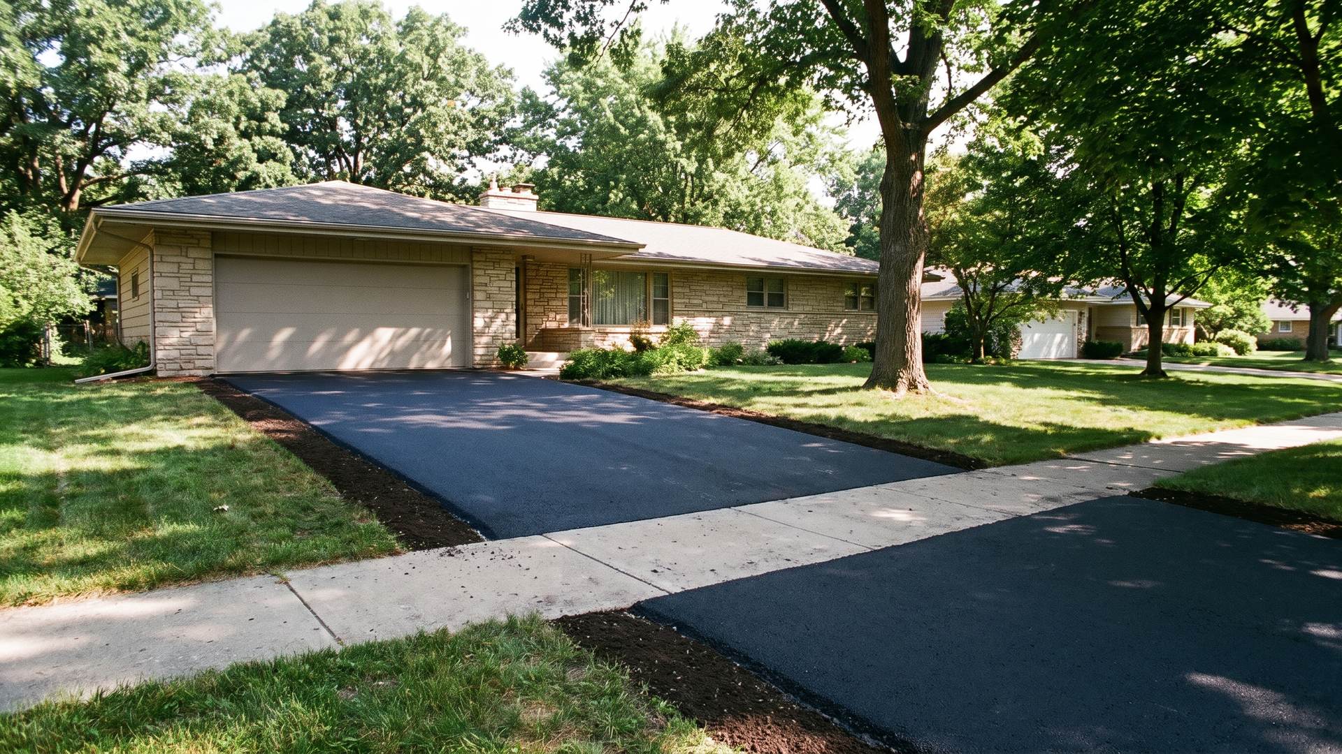
Glacial history sets the ground rules. Madison's highest ground, at 1,190 feet, is part of a terminal moraine left by the Green Bay Lobe, about 350 feet above the city's lowest point, while part of Dane County lies in the Driftless Area that the last ice sheet never covered. USDA soil descriptions written from Dane County sites show what the glaciers and the wind left behind: Dodge carries 24 to 39 inches of loess over till on drumlins and moraines, and Kegonsa, described from a site about two miles southwest of Middleton, has silty layers over sandy outwash. The Wisconsin Asphalt Pavement Association rates subgrades that are half or more silt and clay as poor support, and those loess caps qualify.
Cold does its work in two ways. The airport station's 1991-2020 normals count 148.5 days a year with a low at or below 32 degrees and 61.3 days when the thermometer stays at or under 32 all day; the difference, about 87 days, is roughly how often water sitting in pavement cracks and base stone can freeze and thaw again. Deep cold matters too, with 15.3 days a year at or below zero. The City requires deck footings at least 48 inches deep to stay below frost heave. No driveway is built that deep, so local asphalt depends on a compacted, free-draining stone base to spread the lift evenly instead of cracking over it.
Spring is when bases fail. Wisconsin's local-roads program describes pavement thawing from the top and bottom at once, with meltwater trapped above still-frozen soil so the base turns to something closer to mud; statewide, that thaw generally runs from early March to early May. Paving follows the thermometer after that. City specifications bar upper-layer asphalt below 40 degrees and lower layers below 36 without written approval, and NOAA's April normal low at the airport is 35.8 degrees. By May the normal low reaches 46.1, and October's afternoons still average 58.9 even as its nights dip to 38.8, which frames a dependable season of May through October.
City Engineering manages 827 miles of streets, 1,834 lane miles, and rates all of them every two years. Streets scoring 5 or lower on its 10-point scale become candidates for resurfacing, in which the old surface is milled or pulverized and a new asphalt layer goes on, about five miles a year on average, with the aim of adding 30 or more years before reconstruction. PASER, the rating system from UW-Madison, applies the same logic to any asphalt surface, including a driveway: rate it, then resurface while the base still holds. Madison also has 1,193 miles of sidewalk, which is why so many driveways end at a public terrace.
Rules change at the property line. In the city, the terrace apron needs a Street Terrace Permit, reviewed in 5 to 7 working days, and a contractor prequalified by the City. A residential entrance on a curbed street can be at most 20 feet wide with a curb cut no longer than 30 feet, and it must sit at least 10 feet from an intersection and 5 feet from the property line. Disturbing more than 4,000 square feet of ground, or building an access drive longer than 125 feet, adds an Erosion Control Permit. Monona requires concrete aprons in its right-of-way, and Stoughton wants a permit even for a private driveway rebuilt in place.
Growth keeps the paving calendar full. Madison counted 269,840 residents in the 2020 census and an estimated 286,233 by mid-2025, and it was the state's fastest-growing city in 2024. Census QuickFacts lists 6,629 building permits in Dane County for 2025, and every new house needs a driveway. Owners occupy 46 percent of the city's housing units, 57.1 percent countywide and 77.4 percent in Waunakee. Every city parcel also pays a stormwater charge billed partly by the square foot of pavement, measured from aerial imagery, so a wider driveway shows up on the monthly utility bill.